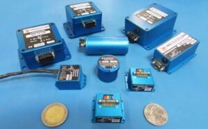
LORD Microstrain manufactures innovative miniature sensors that measure a wide range of parameters and can be found in a variety of applications, from aerospace to robotics to unmanned vehicle systems. In addition to our off-the-shelf sensors, we can also provide a custom sensing solution to meet your every need, offering expert guidance on every stage from concept through to production.
High-Performance, Miniature Inertial Sensor Solutions for UAVs
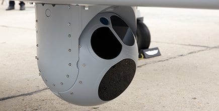
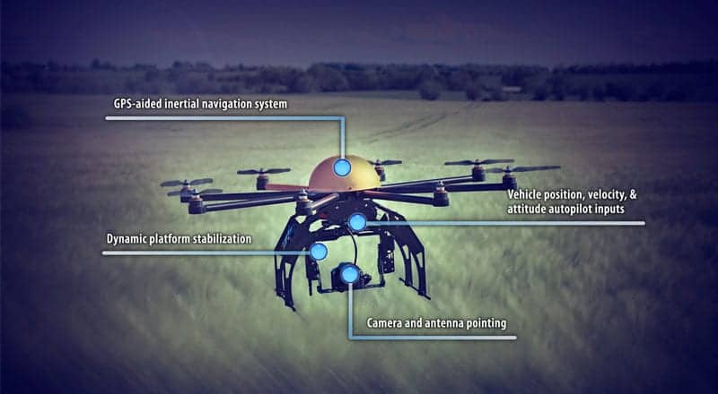
Unmanned aerial vehicles (UAVs) often have extremely demanding operating requirements, relying on precise and accurate sensor data. Meeting these requirements can mean compromising on size or weight or vice versa. Our inertial sensing systems provide the high performance needed in a UAV operating requirement at a low size and weight cost.
Inertial Sensors for Unmanned Ground Vehicles
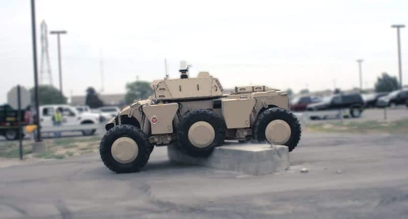
 Unmanned ground vehicles (UGVs) must be capable of operating autonomously in environments that are different to but no less challenging than those of UAVs.
Navigation techniques are required that can reliably traverse undefined and difficult terrain, and our inertial sensing systems can provide GPS and inertial measurements in one integrated solution. Their small footprint also allows UGV manufacturers to meet the challenge of producing smaller, lighter, faster and more responsive vehicles.
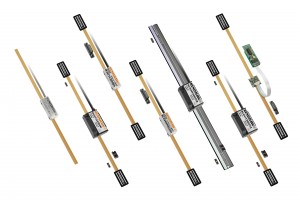
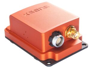
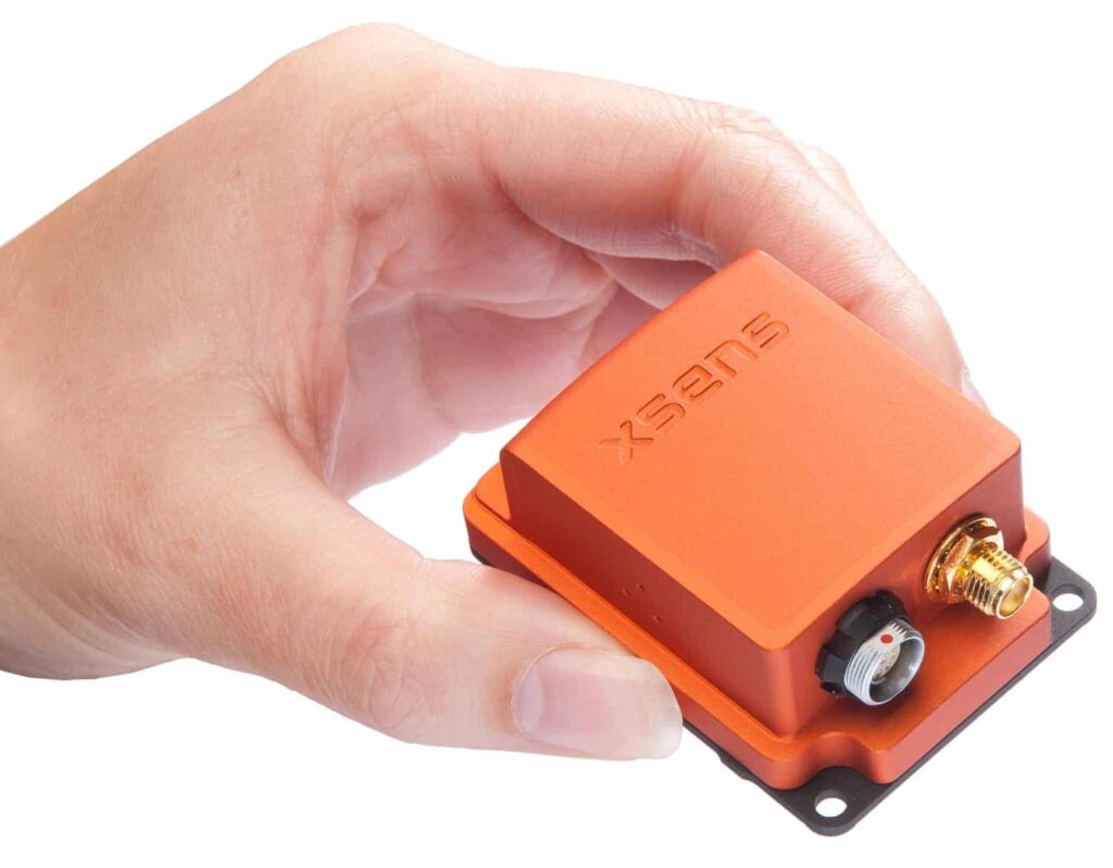
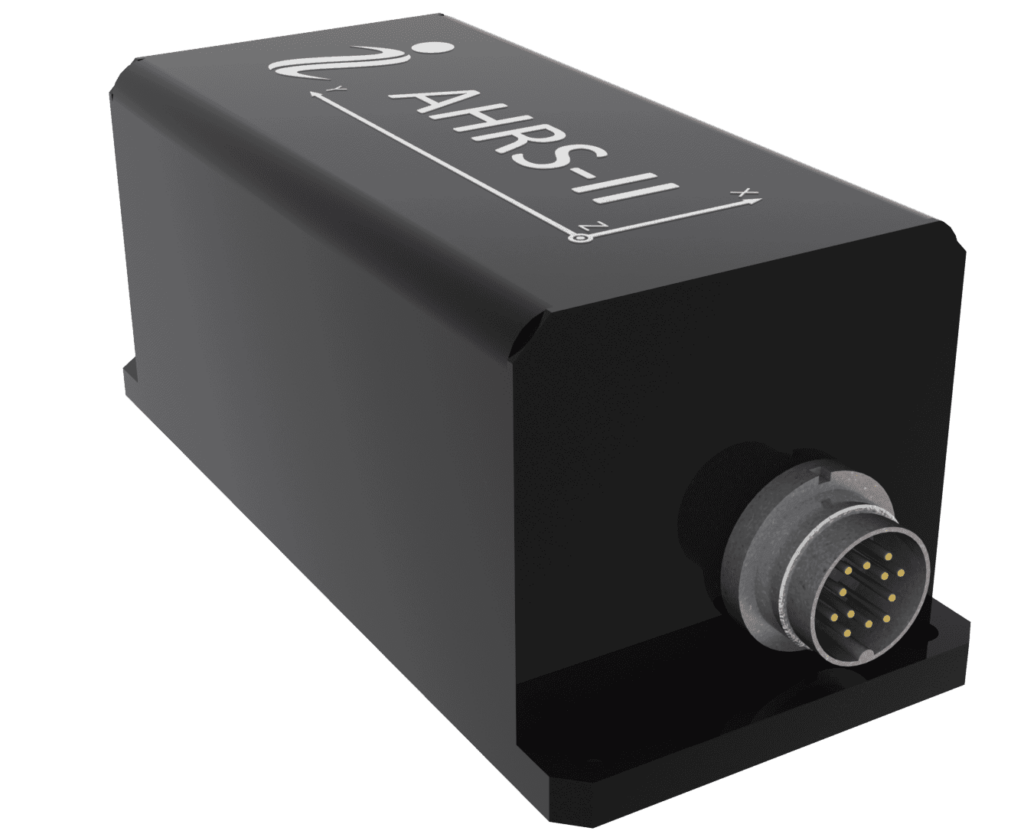
Inertial Sensors
 Our advanced inertial sensor range measures a variety of parameters including orientation (pitch, roll, yaw or azimuth), linear acceleration and angular rate, on either a single or dual axis inclination. The minimal weight and size allows for efficient integration into existing UAV platforms without compromising the performance of the system. Advanced data gathering and estimation filtering algorithms provide the UAV with precise control and stabilization.
We offer inclinometers, GPS-Aided Inertial Navigation Systems (GPS/INS), Attitude Heading Reference Systems (AHRS), and Inertial Measurement Units (IMU). Our systems are supported by highly functional development kits, providing the UAV developer with flexibility and repeatability.
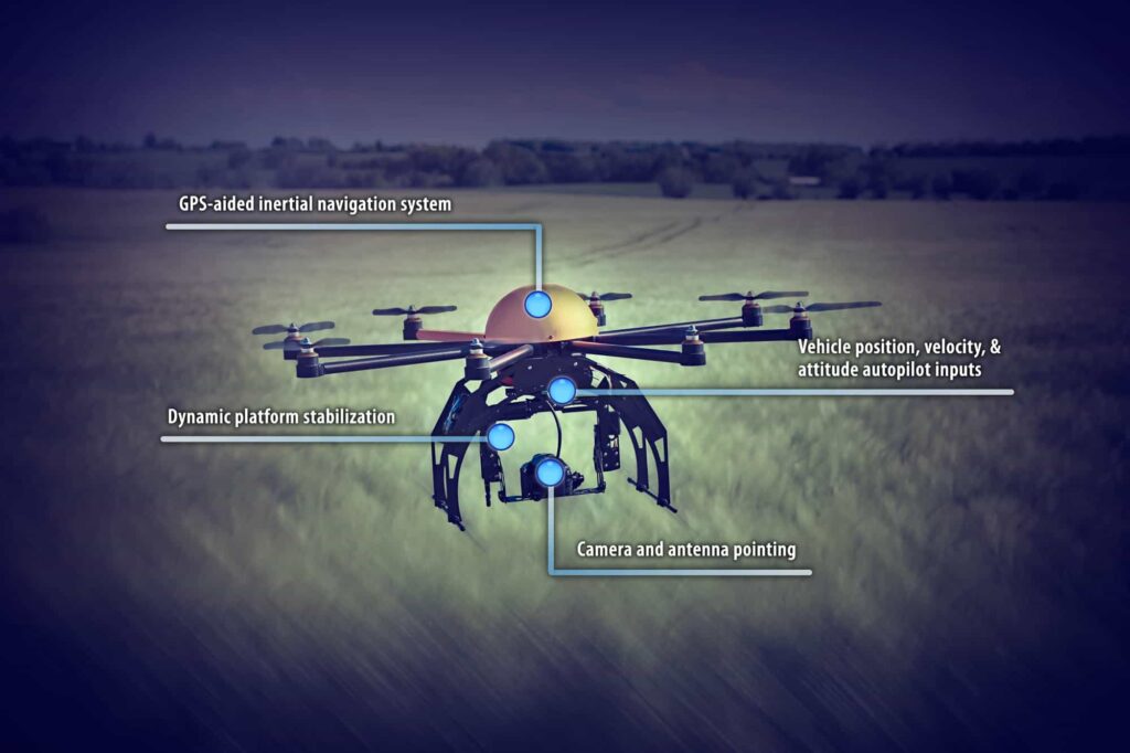
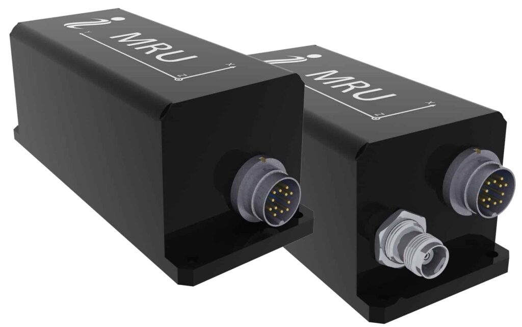
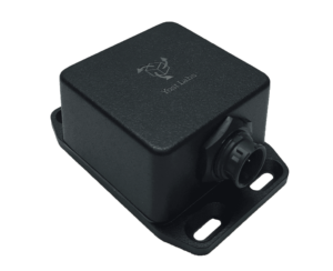
3DM-RQ1-45 Ruggedized GPS-Aided Inertial Navigation System (GPS/INS)
 The 3DM-RQ1-45 is a Ruggedized Tactical Grade GPS-Aided Inertial Navigation System (GPS/INS) that combines MEMS inertial sensors with a high-sensitivity GPS receiver and an Extended Kalman Filter to provide optimal estimates of position, velocity and attitude. Designed to be highly immune to shock and vibration and to meet the DO-160G standard, the 3DM-RQ1-45 is capable of performing in extremely demanding harsh environments.
- Typical position accuracy of ±2.5 m RMS horizontal, ±5 m RMS vertical
- Typical velocity accuracy of ±0.1 m/s RMS
- Typical attitude accuracy of ±0.1 deg RMS roll & pitch, ±0.5 deg RMS heading
- Attitude heading range of 360 degrees about all 3 axes
- RS422 interface
More Information: 3DM-RQ1-45 Ruggedized GPS-Aided Inertial Navigation System
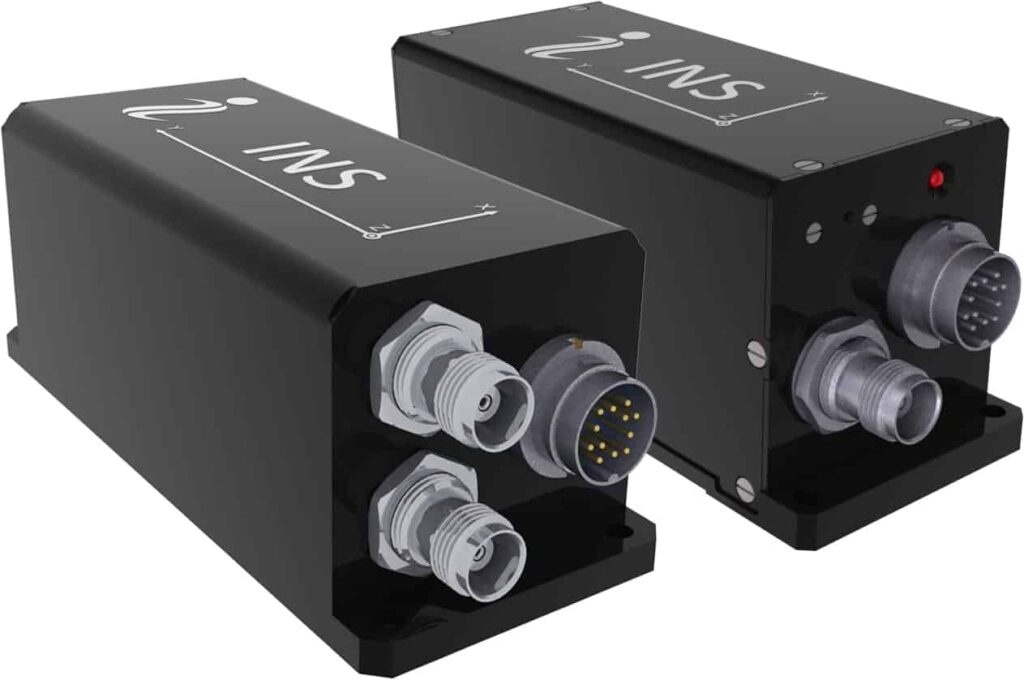
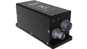
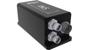
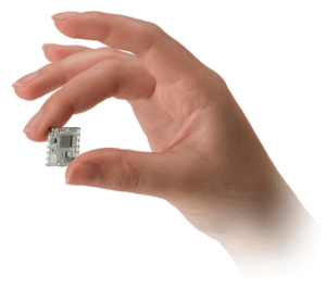
3DM-GX3-45 GPS-Aided Inertial Navigation System (GPS/INS)
 The 3DM-GX3-45 is the smallest and lightest GPS-Aided Inertial Navigation System (GPS/INS) on the market. It combines a GPS receiver, MEMS inertial sensors and an Extended Kalman Filter to provide optimal estimates of position, velocity and attitude. All data is time-aligned and available as user-defined packets.
- Typical position accuracy of ±2.5 m RMS horizontal, ±5 m RMS vertical
- Typical velocity accuracy of ±0.1 m/s to ±0.75 m/s RMS
- Typical attitude accuracy of ±0.35 deg RMS roll & pitch, ±1.0 deg RMS heading
- Sensor ranges and static and dynamic accuracy as per our other featured systems
- USB 2.0 or RS232 interface
More Information: 3DM-GX3-45 GPS-Aided Inertial Navigation System
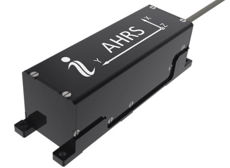
3DM-GX3-25 Attitude Heading Reference System (AHRS)
 The 3DM-GX3-25 is the smallest, lightest industrial Attitude Heading Reference System available. Combining a triaxial accelerometer, triaxial gyro, triaxial magnetometer and temperature sensors, it utilises a fusion of data from all its sensors to provide static and dynamic orientation and inertial measurements.
- Attitude heading range of 360 degrees about all 3 axes
- Accelerometer range of ±5g standard
- Gyroscope range of ±300°/sec standard
- Static accuracy ±0.5° pitch and roll
- Dynamic accuracy ±2.0° pitch and roll
- USB 2.0 or RS232 interface
More Information: 3DM-GX3-25 Attitude Heading Reference System
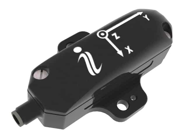
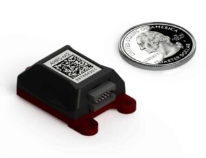
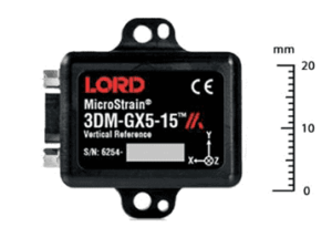
3DM-GX3-15 Inertial Measurement Unit (IMU)
 The 3DM-GX3-15 is the smallest, lightest industrial Inertial Measurement Unit available. Combining a triaxial accelerometer, triaxial gyro and temperature sensors, it utilises a fusion of data from all its sensors to provide static and dynamic orientation and inertial measurements.
- Attitude heading range of 360 degrees about all 3 axes
- Accelerometer range of ±5g standard
- Gyroscope range of ±300°/sec standard
- Static accuracy ±0.5° pitch and roll
- Dynamic accuracy ±2.0° pitch and roll
- USB 2.0 or RS232 interface
More Information: 3DM-GX3-15 Inertial Measurement Unit
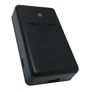
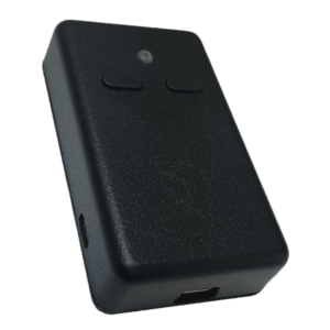
Wireless Sensor Networks
 Our Wireless Sensor Networks provide rapid sensing and data acquisition capabilities simultaneously across any network size from just a few up to hundreds of nodes. The network technology would be ideal for system monitoring on larger UAVs.
The wireless nodes support a wide variety of sensor inputs, including thermocouples, accelerometers and other analogue inputs. WSDA wireless gateways intelligently handle communications between the nodes and a wide range of end systems, from dataloggers to remote monitors and many third party systems.
Using the IEEE 802.15.4 compliant LXRS wireless protocol, a system can be configured to communicate with cloud storage, an Ethernet network or single computer, or even a Data Acquisition System or Programmable Logic Controller.
More Information: Wireless Sensor Networks
Displacement Sensors
Also known as Differential Variable Reluctance Transducers (DVRTs), our miniature displacement sensors are available in both contact and non-contact varieties, delivering highly precise linear measurements in a tiny package – in the case of the contact sensors, the smallest in the world. The sensors are incredibly robust, capable of operating at high temperatures in extremely corrosive media.
LORD Microstrain also offer wireless, analogue and digital output signal conditions for complete conditioning of our DVRTs. In addition we also provide a range of enclosures, motherboards and power supplies.
More Information: Displacement Sensors
The post LORD MicroStrain appeared first on Unmanned Systems Technology.


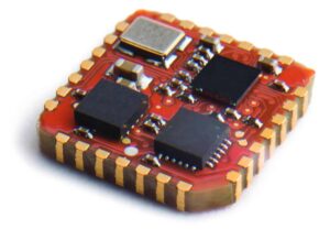
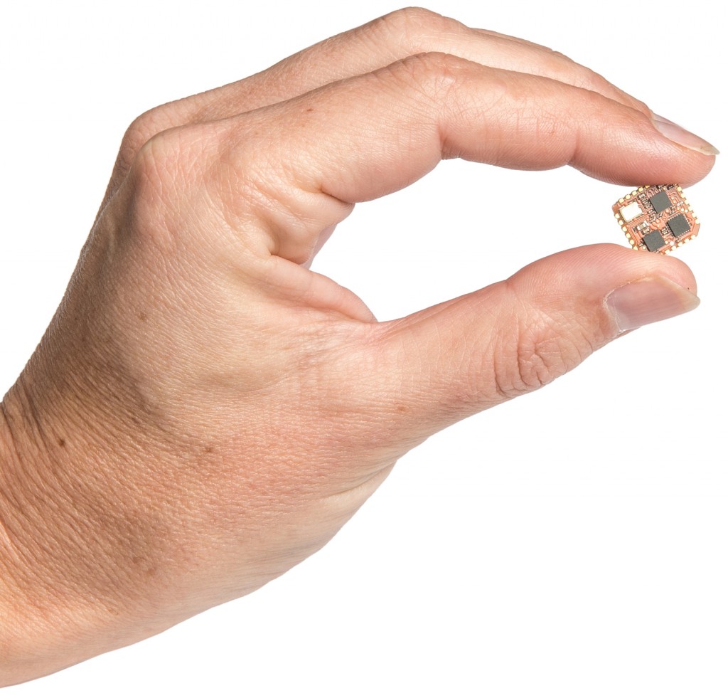


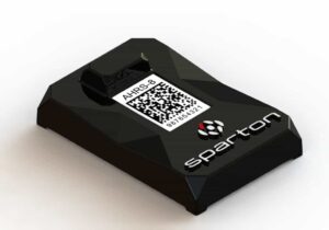
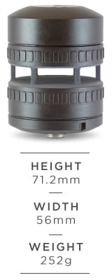


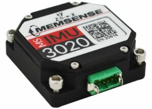
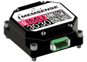
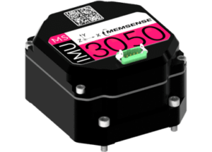


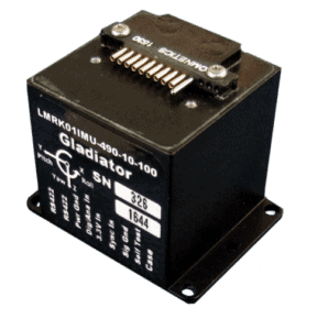
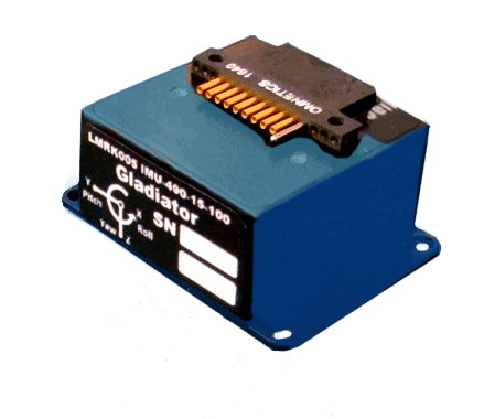
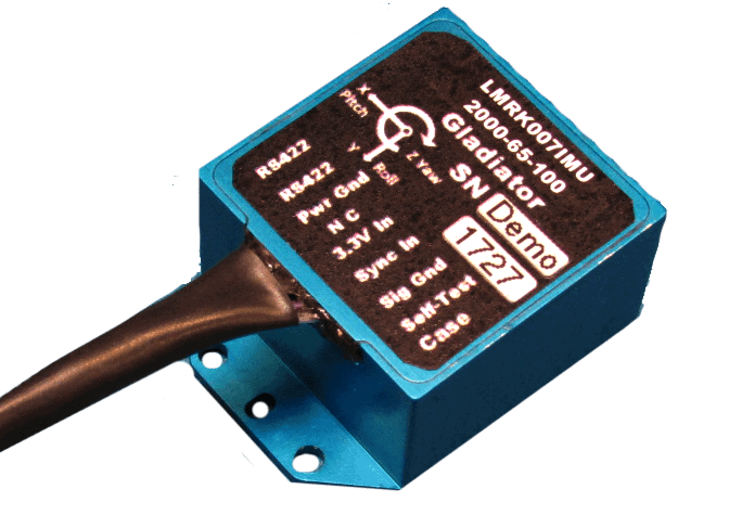
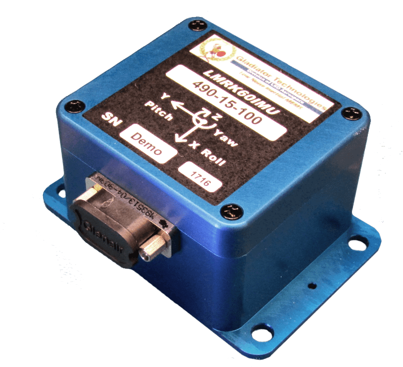
 01 IMU – Ultra Small Standard IMU